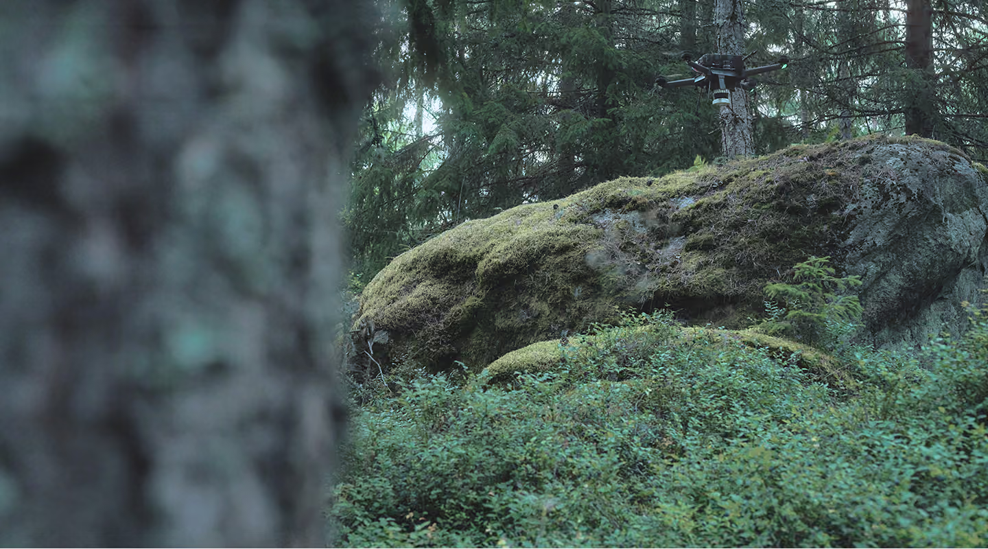


Our drones autonomously capture ground-truth data from the places satellites can’t see and crews can’t reach.
We turn it into verified intelligence that decisions about land, assets and risk depend on.
The data that matters most is the hardest to reach.
Nature, as data you can act on.
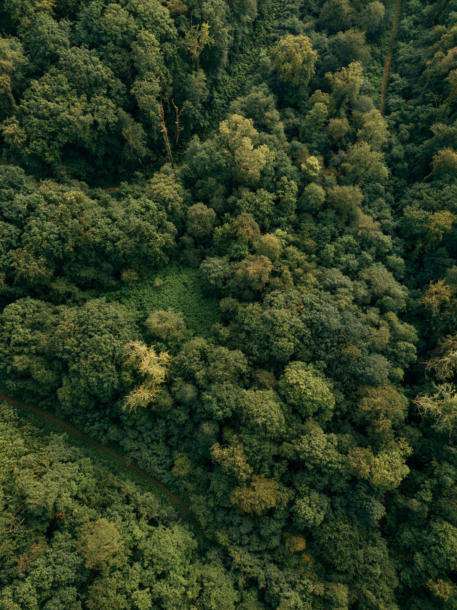
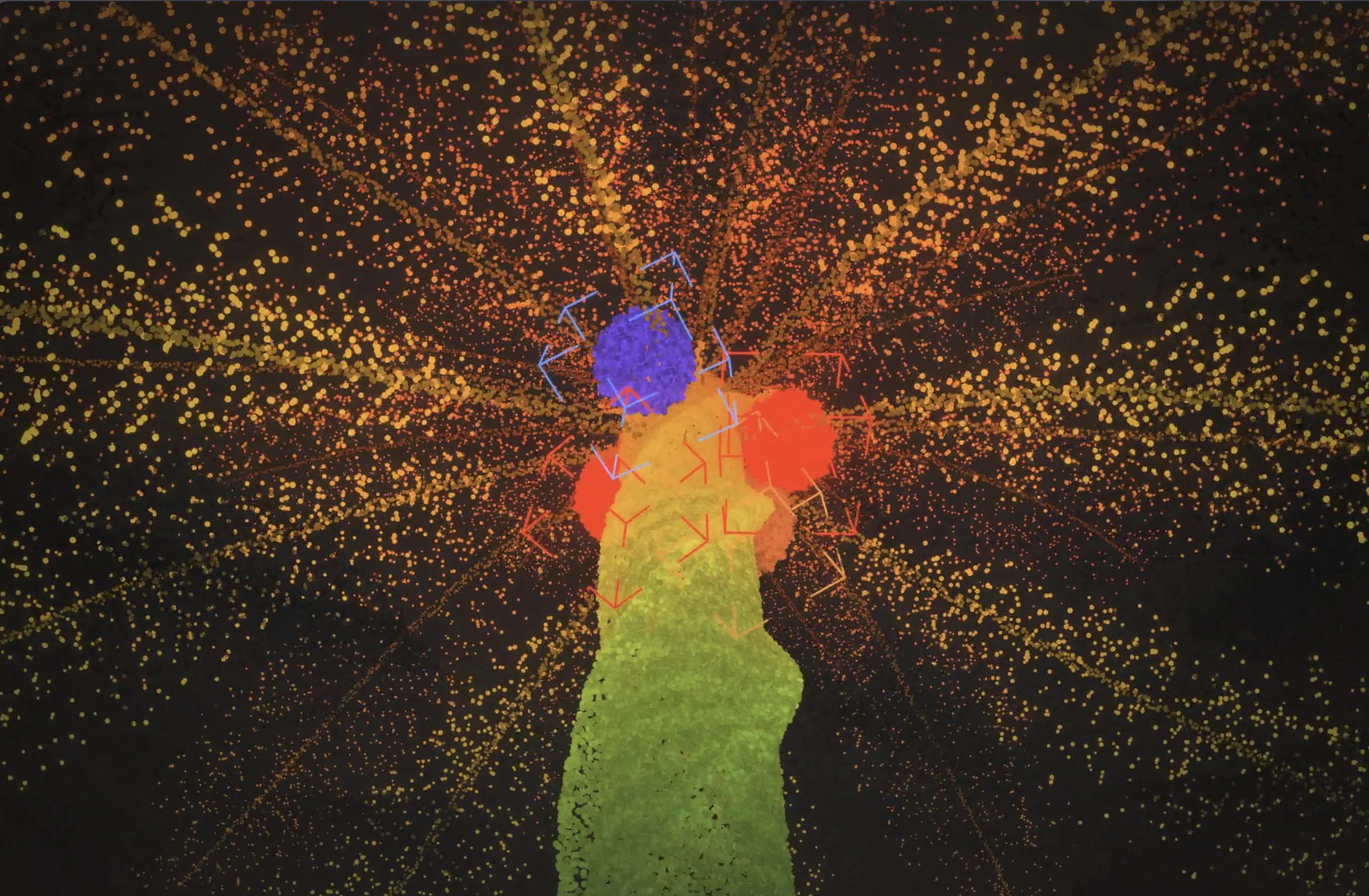
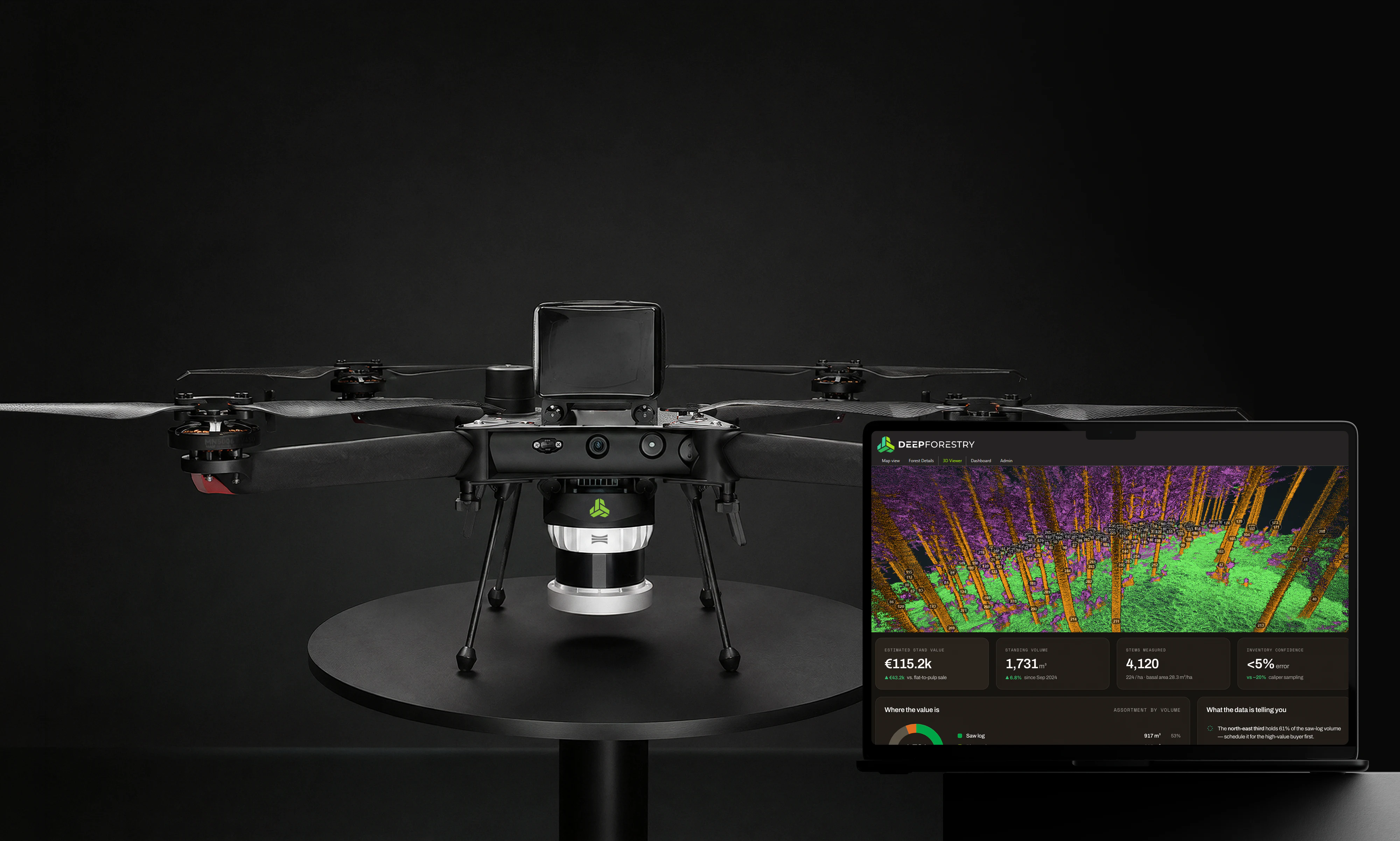
Every tree measured, not estimated. Our Drones fly beneath the canopy and return diameter, height, volume and species for every stem.

Carbon you can audit down to a single tree. Per-stem biomass gives registries, developers and verifiers a measured carbon stock. Any number can be traced back to the tree and the scan it came from.
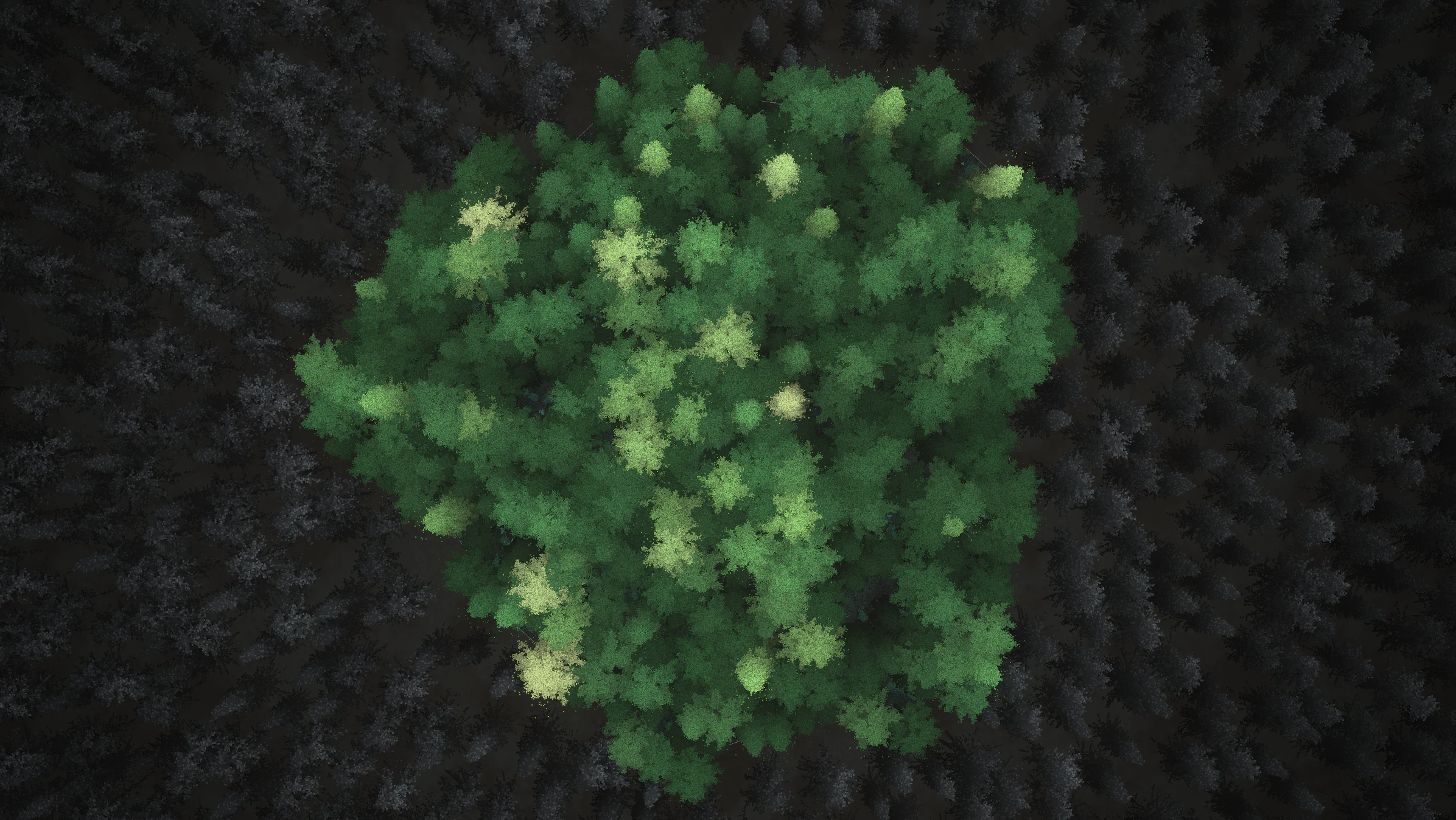
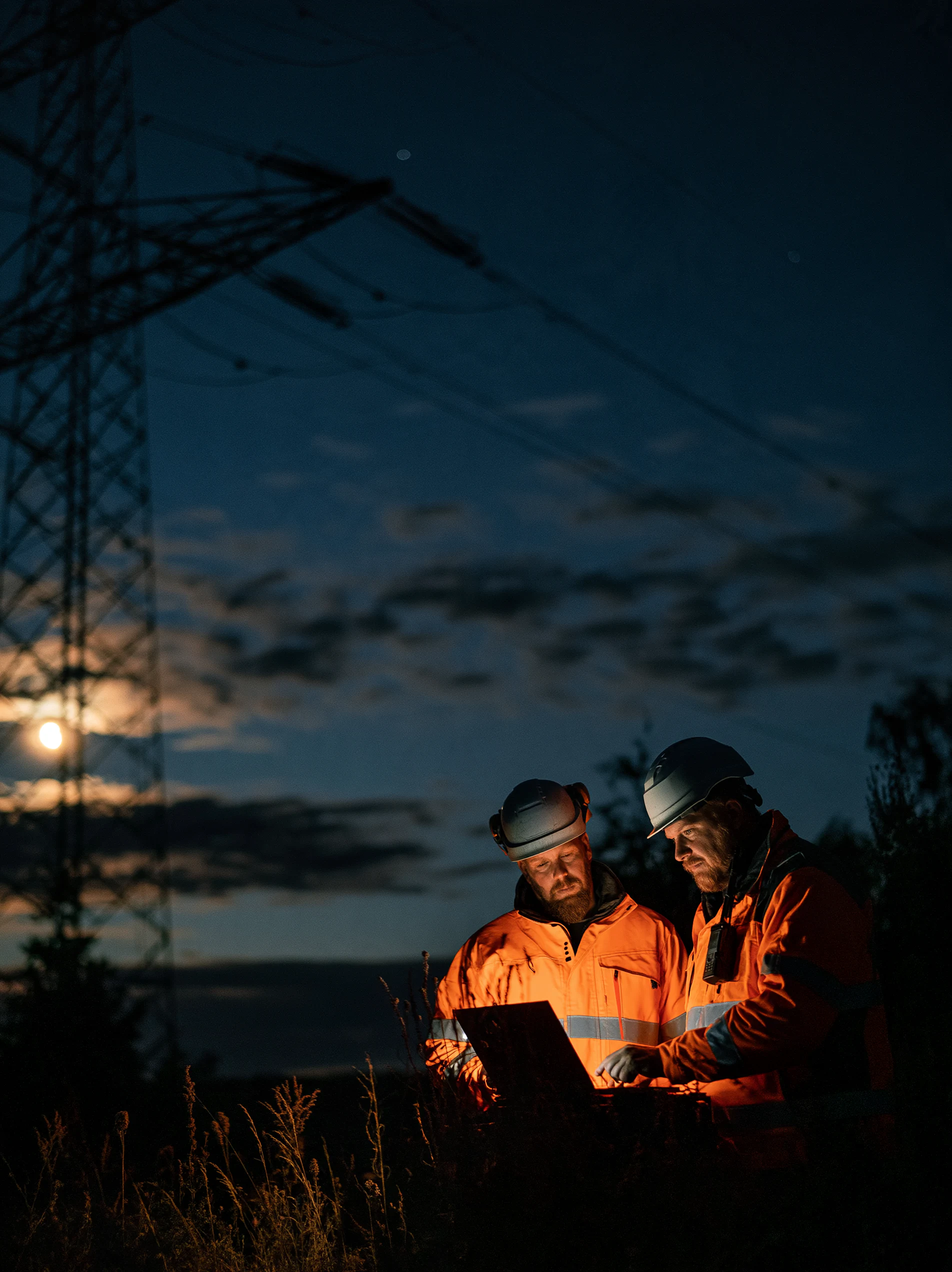
See the risk before it reaches the line. We map the vegetation along power corridors tree by tree, so utilities can move from reactive trimming to planned, defensible management.

Maps of the world beneath the cover. We build precise 3D maps of terrain, stands and boundaries in places satellites can’t see, giving people and machines the ground truth they need to plan and move.

Count what grows, find what’s missing, predict what you’ll harvest. Across palm and eucalyptus estates, we turn every row into yield and survival data you can act on.
You ask, we answer
Any terrain. One stack. The ground truth you're missing.