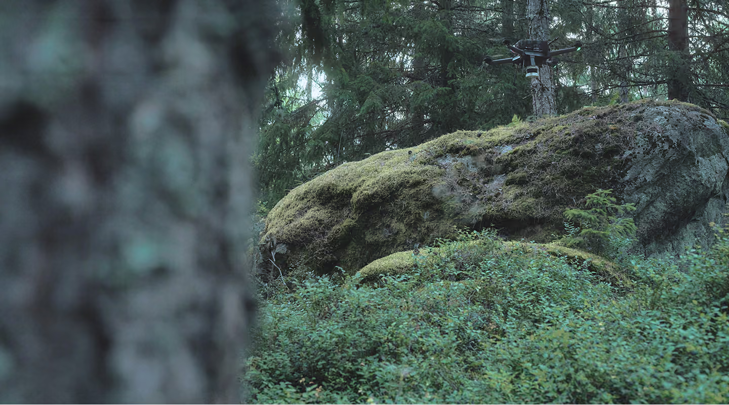

Most vendors show you slides. We'd rather show you rows. This is a Deep Forestry export from a measured stand: every tree with its diameter, height, species, and volume, anonymized and position-scrambled, exactly as it would land in your GIS. Note: position scramble is the default, for exact geo-referencing talk to our sales.
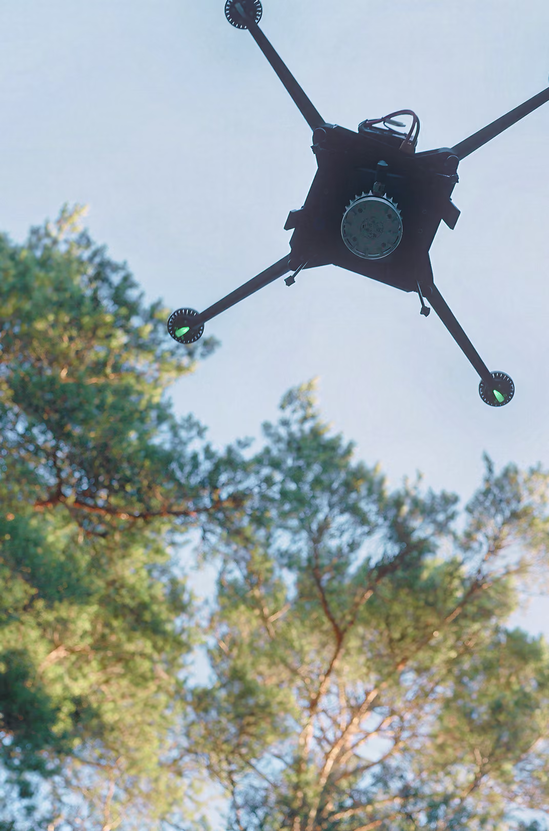
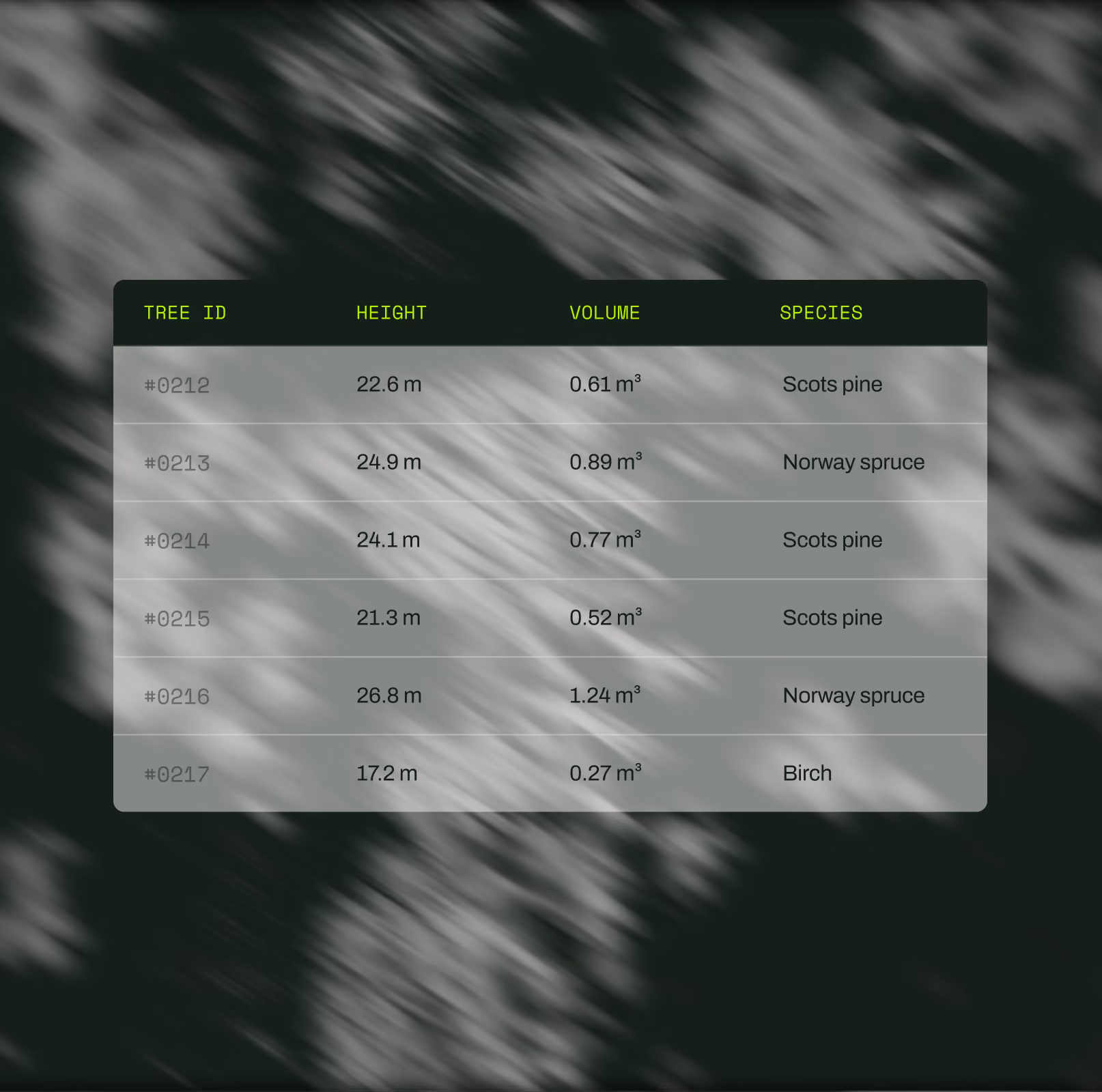
Four rows from the sample (the full export carries 20+ fields per tree, and thousands of rows per stand). Notice what's absent: no confidence intervals apologizing for an extrapolation. Every row is a tree that was actually measured.
*Illustrative preview rows shown for format; the downloadable pack contains actual survey output, anonymized and position-scrambled per our standard data policy.